


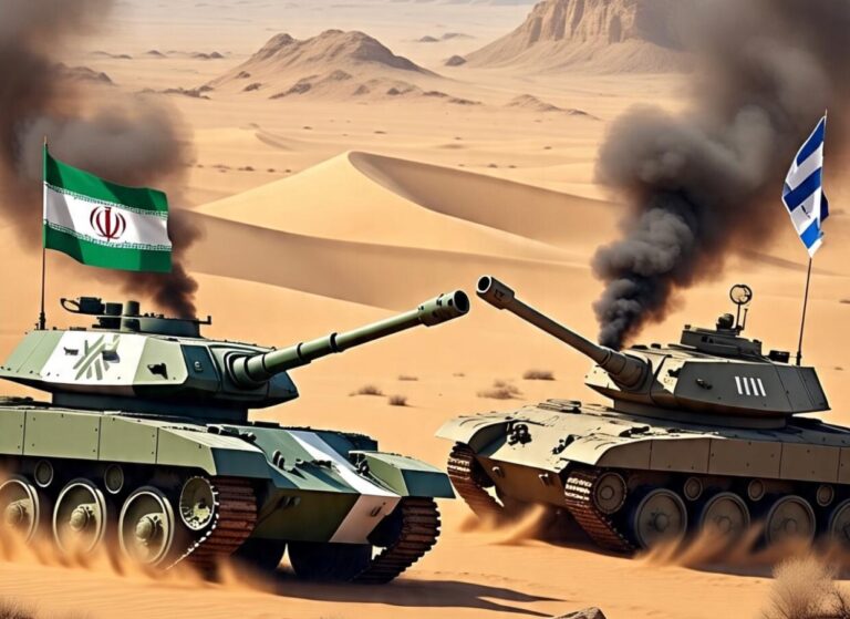

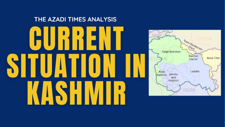
Muzaffarabad, Pakistan administrated Kashmir: The Line of Control (LoC) and the Working Boundary are two of the most sensitive and often misunderstood fault lines in South Asia, particularly between India and Pakistan. These terms are often used interchangeably in media reports, but they refer to distinct geopolitical realities with different legal, military, and political implications.
In the context of Kashmir and the broader conflict between India and Pakistan, understanding these boundaries is critical—not just for policymakers but also for the public, particularly near Ceasefire Line where people live under the daily shadow of these volatile lines.
This article breaks down the key differences, explores their origins, and explains what they mean for the region’s stability.

Help us expose the truth
The Azadi Times is funded by readers like you. No corporate sponsors. No government influence. Just fearless reporting.
What is the Line of Control (LoC)?
The Line of Control (LoC) is the military control line that divides the Indian-administered Jammu and Kashmir from the Pakistan-administered Azad Jammu and Kashmir (AJK). It is not an internationally recognized border but functions as the de facto boundary between the two regions since the Simla Agreement of 1972.
Key Facts about the LoC:
- Length: Approximately 740 km (460 miles)
- Status: A military ceasefire line, not an international border
- Origins: Ceasefire line established after the First Indo-Pak war in 1947–48, formalized in the Simla Agreement (1972) after the 1971 war
- Monitoring: Both India and Pakistan maintain a heavy military presence; there is no third-party monitoring (e.g., UN) on the Indian side
- Ceasefire Violations: Frequently sees cross-border shelling, infiltration attempts, and military skirmishes
The LoC passes through rugged mountainous terrain, heavily militarized zones, and villages where civilian populations often bear the brunt of hostilities. The region sees intermittent peace, but long-term stability remains elusive.

What is the Working Boundary?
The Working Boundary is the line that separates Pakistan’s province of Punjab from India’s Jammu region, specifically the area where Sialkot (Pakistan) borders Jammu (Indian administered Jammu Kashmir’ Region). Unlike the LoC, the Working Boundary is more ambiguous in legal terms and has often been a flashpoint for border firing.
Key Facts about the Working Boundary:
- Length: Around 200 km (124 miles)
- Location: Lies between Pakistan’s Punjab (Sialkot area) and Indian administered Kashmir’s Jammu region
- Recognition: India refers to this as part of its International Border, while Pakistan calls it the Working Boundary, asserting it is not internationally demarcated due to the Kashmir dispute
- Military Presence: Regularly patrolled by Pakistan Rangers and India’s Border Security Force (BSF)
- Violence & Disputes: High number of civilian casualties and displacements during periods of shelling and border tensions
The Working Boundary, unlike the LoC, does not go through disputed territory (as per Pakistan), yet is treated differently by both countries, leading to frequent confusion and escalation.

Key Differences Between LoC and Working Boundary
Aspect Line of Control (LoC) Working Boundary Location Separates Indian-administered and Pakistan-administered Kashmir Lies between Pakistan’s Punjab and India’s Jammu region Status De facto military boundary Considered part of the international border by India; disputed by Pakistan Length Approx. 740 km Approx. 200 km Monitoring No third-party monitoring; UNMOGIP operates on Pakistan side Patrolled by Rangers (Pakistan) and BSF (India) Origin Created post-1947 war; formalized in Simla Agreement Not defined in Simla Agreement; contested terminology International Recognition Not recognized as an international border India claims it as international border; Pakistan disputes that
Why It Matters: Impact on Civilians
Both the LoC and Working Boundary have seen frequent shelling, infiltration, and displacement. Villages on both sides are vulnerable to sudden military action, causing loss of lives, destruction of property, and psychological trauma.
In Pakistan-administered Kashmir (AJK), hundreds of families live within range of Indian shelling and are often forced to relocate during high tensions. Likewise, in Indian-administered Jammu and Kashmir, civilians near the LoC and Working Boundary have also suffered immensely.
The lack of a peaceful resolution to the Kashmir conflict continues to make both boundaries dangerous fault lines.
The UN Role
- The United Nations Military Observer Group in India and Pakistan (UNMOGIP) monitors ceasefire violations only from the Pakistan side of the LoC.
- India does not allow UN observers on its side, claiming that the 1972 Simla Agreement superseded previous UN resolutions.
- The Working Boundary is not monitored by UNMOGIP, which further complicates accountability and conflict prevention.
Voices from the Ground
Many in AJK and GB see the LoC not just as a line but as a wall dividing families, culture, and shared history. In recent years, various political and civil society movements have called for:
- Peace corridors for cross-LoC trade and cultural exchange
- Civilian ceasefire protections
- Recognition of Kashmiris as key stakeholders in all negotiations
The Need for Dialogue and Clarity
Understanding the difference between the LoC and the Working Boundary is essential in analyzing South Asia’s most protracted conflict. While both serve as dangerous lines of control, their legal definitions, military implications, and humanitarian impact differ substantially.
As cross-border tensions persist, there is an urgent need for neutral journalism, cross-border dialogue, and humanitarian cooperation to ensure that the people of Kashmir, on both sides, are not forgotten in political narratives.
